
Angels Landing vs. The Narrows: Which Zion Hike Should You Do?
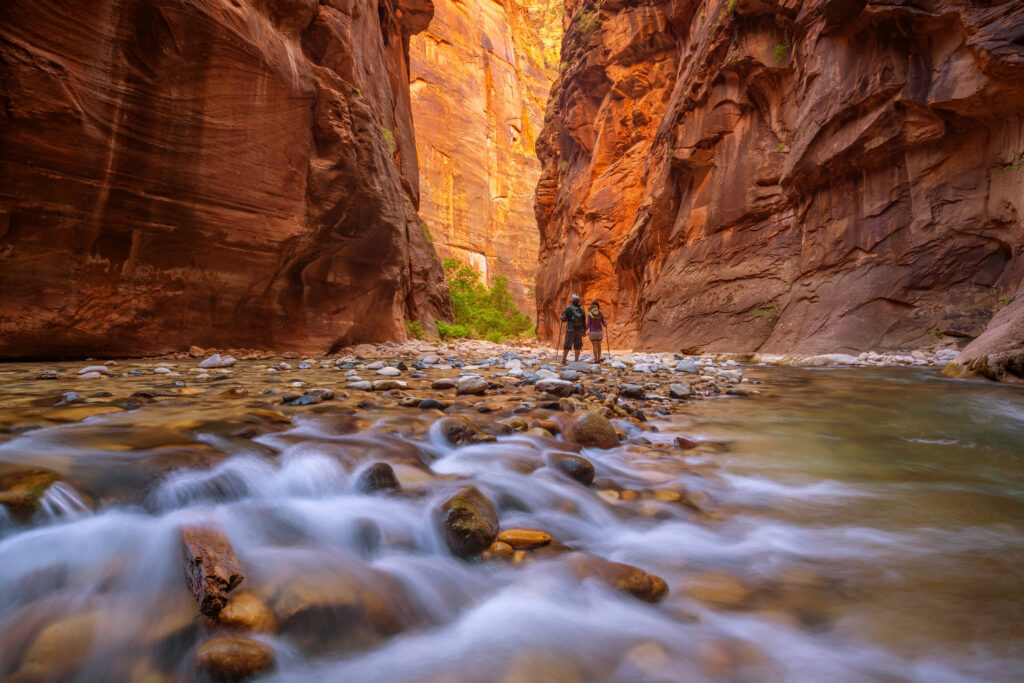
Trying to decide between Angels Landing and The Narrows in Zion National Park? These are Zion’s two most iconic hikes — but they could hardly be more different. Angels Landing is a steep, exposed climb that finishes on a narrow sandstone ridge with chains and dramatic drop-offs. The Narrows sends you directly into the Virgin River, where the “trail” becomes the river itself as you walk between towering canyon walls. Both are unforgettable. Both require preparation. And depending on your comfort with heights, water, weather, permits, family situation, and fitness level, one may be a much better fit for you than the other. We’re Heather and Jesse from Adventure Family Vlog, and because we live in Utah and have spent a lot of time exploring Zion, these are two hikes we get asked about constantly. In this guide, we’ll break down Angels Landing vs. The Narrows, including permits, difficulty, safety, current 2026 rules, family considerations, gear, shuttle access, and whether you can realistically hike both in the same day. Want the Complete Zion Planning Guide? This blog focuses specifically on Angels Landing and The Narrows, but our Ultimate Zion National Park Guide 2026 goes much deeper with the Zion shuttle, best hikes, Angels Landing permits, Narrows planning, where to stay, Springdale, family-friendly hikes, scenic drives, photography locations, packing, seasonal planning, sample itineraries, and our full Zion recommendations. 👉 Want more details? Check out our premium Zion National Park Guide here. Angels Landing vs. The Narrows at a Glance Here’s the simplest way to compare Zion’s two bucket-list hikes: Angels Landing The Narrows Main challenge Heights + steep climb Moving water + unstable footing Permit Required past Scout Lookout None for bottom-up; permit for top-down Distance 5.4 miles RT Up to 9.4 miles RT bottom-up Elevation gain About 1,488 feet Minimal Exposure Extreme Very little height exposure Flash-flood risk Lower Major consideration Easy to shorten? Not really Yes Best for families Scout Lookout works for many Short bottom-up hike can work in safe conditions Gear Hiking shoes, water, permit Water shoes, walking stick, thermal gear as needed Best season Spring and fall Depends heavily on water flow and weather Angels Landing is about exposure and elevation. The Narrows is about water and changing conditions. That distinction matters more than which one is technically “harder.” Angels Landing: What to Expect Angels Landing is one of the most recognizable hikes in the National Park System. The hike starts at The Grotto, climbs the West Rim Trail through Refrigerator Canyon, tackles the tight switchbacks of Walter’s Wiggles, and reaches Scout Lookout. From there, hikers with a valid permit can continue onto the famous chain section. The full hike is approximately: 5.4 miles round trip 1,488 feet of elevation gain Around 4 hours for many hikers Potentially 3–5+ hours depending on fitness, crowds, and conditions The final section is what makes Angels Landing famous — and intimidating. Parts of the route are extremely narrow, with steep drop-offs and chains installed to help hikers navigate the exposed sandstone ridge. This is not a technical rock climb, but the consequences of a mistake are serious. Do You Need a Permit for Angels Landing? Yes. Everyone hiking the permit-controlled section beyond Scout Lookout must be covered by a valid Angels Landing permit. You do not need a permit to hike from The Grotto to Scout Lookout. Angels Landing permits are distributed through: A seasonal lottery A day-before lottery For 2026, the seasonal lottery windows are announced by the National Park Service throughout the year, while the day-before lottery accepts applications from 12:01 a.m. until 3:00 p.m. Mountain Time the day before your hike. Current permit costs are: $6 lottery application fee for up to six people $3 per person if selected The $6 application fee is non-refundable. Important Permit Tip Download, screenshot, or print your permit before leaving Springdale. Cell service can be unreliable at The Grotto and along the trail, and rangers may ask to see your permit at different points. The time printed on the permit is also when you’re expected to be at The Grotto. Want More Help Planning Angels Landing? Our Ultimate Zion National Park Guide includes Angels Landing planning along with the Zion shuttle, other hikes to pair with it, backup hikes if you don’t get a permit, where to stay, what areas of Zion belong together, and complete 1-, 2-, and 3-day planning ideas. 👉 Check out our complete Zion National Park Guide here. What If You Don’t Get an Angels Landing Permit? Not getting a permit does not mean the entire hike is off-limits. You can still hike the West Rim Trail to Scout Lookout without a permit, and the views are genuinely worth the climb. Other options include: Continue farther along the West Rim Trail Try the day-before Angels Landing lottery Hike Canyon Overlook Trail Consider Observation Point via East Mesa Trail Observation Point is one of our favorite high-view alternatives, but access from East Mesa requires its own driving and trailhead planning. The key point: you can still have an incredible Zion hiking day without the Angels Landing chain section. Is Angels Landing Safe? Angels Landing has been the site of multiple fatal falls over the years, and the exposed chain section deserves serious respect. A few things we recommend: Do not attempt the chain section if you are uncomfortable with heights. Turn around in wet, icy, or very windy conditions. Keep control of your footing instead of rushing. Allow other hikers to pass only in wider areas. Bring plenty of water. Carry snacks and layers. Bring a headlamp if your permit window could put you on the trail early or late. Start as early as your permit allows. The chains are there to assist with balance — they are not a safety harness. Scout Lookout is a perfectly good turnaround point for hikers who decide they are not comfortable continuing. Is Angels Landing Good for Kids? For many families, we recommend Scout Lookout instead of the chain
California Road Trip Itinerary: 9 Days, 5 National Parks from Death Valley to Yosemite
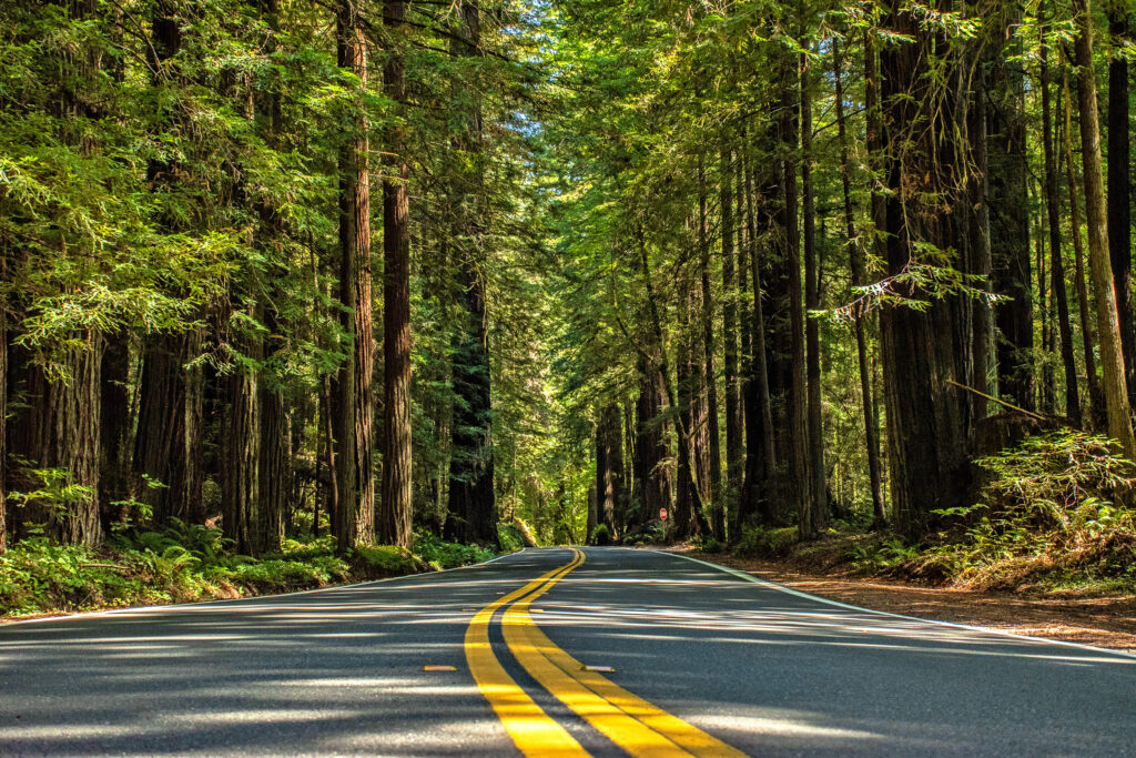
Planning a California road trip through national parks? This is one of the most dramatic road trips in the United States — taking you from 282 feet below sea level in Death Valley to the giant sequoias of the Sierra Nevada and the towering granite walls of Yosemite Valley. In one unforgettable trip, you can visit Death Valley National Park, Joshua Tree National Park, Sequoia National Park, Kings Canyon National Park, and Yosemite National Park — five completely different landscapes that show just how wild and diverse California really is. Our full Ultimate California Road Trip Guide 2026 is built around a 9-day, 5-national-park route with real drive times, Yosemite’s 2026 reservation update, detailed hike and viewpoint planning, lodging and camping strategy, multiple itinerary options, desert and Sierra safety, and family logistics. But this is not a road trip you want to throw together last minute. California looks easy on a map until you start connecting the deserts, Central Valley, mountain roads, giant sequoia groves, Yosemite lodging, summer heat, seasonal closures, long drive days, and limited cell service. This trip can be incredible — but only if you plan it realistically. We’re Heather and Jesse from Adventure Family Vlog, and in this blog, we’re giving you the big-picture version of how to plan a California national parks road trip from Death Valley to Yosemite without giving away every detail from our premium guide. Want the Complete California Road Trip Planning Guide? This blog will help you get started, but our Ultimate California Road Trip Guide 2026 goes much deeper with the full 9-day itinerary, alternate 7-day and 11–12 day routes, real drive times, airport strategy, lodging and campground planning, park-by-park breakdowns, hiking charts, family tips, packing lists, safety notes, and our full first-hand planning recommendations. 👉 Want more details? Check out our premium California Road Trip Guide here. Why This California Road Trip Works A lot of California road trip itineraries try to connect too many places in a way that looks good online but feels exhausting in real life. This route works because it follows a natural geographic flow: Death Valley → Joshua Tree → Sequoia → Kings Canyon → Yosemite You start in the low desert, move through Joshua Tree’s boulder-filled high desert, push north through California’s Central Valley, then finish in the Sierra Nevada with giant trees, granite cliffs, waterfalls, and mountain valleys. The contrast is the whole point. In one trip, you can walk across the salt flats at Badwater Basin, watch golden light hit the boulders in Joshua Tree, stand below the General Sherman Tree, drive toward the canyon floor in Kings Canyon, and finish surrounded by Yosemite’s famous granite walls. The guide describes this route as a nine-day trip through five national parks, spanning low desert to high Sierra terrain, with roughly 1,100–1,200 miles of core driving plus in-park driving. That variety is what makes this trip amazing — and also what makes planning important. You are not packing for one kind of trip. You are packing for desert heat, cool mornings, high-elevation forests, seasonal mountain roads, possible wildfire smoke, long drive days, limited services, and some of the busiest national park areas in the country. California Road Trip at a Glance Here’s the simple overview of this road trip: Parks Included:Death Valley, Joshua Tree, Sequoia, Kings Canyon, and Yosemite Recommended Trip Length:9 days Minimum Realistic Trip Length:7 days, but it will feel condensed Better Extended Trip Length:11–12 days Best Seasons:Spring or fall Best Route Flow:Death Valley → Joshua Tree → Sequoia → Kings Canyon → Yosemite Best Starting Airport:Las Vegas for the Death Valley start Best Ending Airport:Fresno for the Sierra / Yosemite side The full premium guide includes the complete route leg by leg, real drive-time planning, best airport strategy, one-way rental considerations, RV notes, and what to book first. Want the Full Route Breakdown? This blog gives you the overview, but the premium guide includes the detailed route legs, realistic drive times, airport strategy, where to stop, how to avoid backtracking, and how to decide whether a one-way rental makes sense. 👉 Want more details? Check out our premium California Road Trip Guide here. Best Time of Year for This California National Parks Road Trip The hardest part of planning this trip is that Death Valley and Yosemite want opposite seasons. Death Valley is best when temperatures are cooler. Yosemite’s high country is best when mountain roads are open. That is why the best compromise windows for the full route are usually: Spring: April–May Fall: late September–October The guide notes that Death Valley can be dangerously hot from June through September, while Yosemite’s high-country roads, including Tioga Road and Glacier Point Road, are typically affected by snow closures for part of the year. Spring Spring is one of the best overall windows. Death Valley and Joshua Tree are more manageable, while Sequoia, Kings Canyon, and Yosemite start shifting into waterfall, wildflower, and snowmelt season. Summer Summer requires caution. Yosemite, Sequoia, and Kings Canyon can be beautiful, but Death Valley can become genuinely dangerous. If summer is your only option, the premium guide includes a reversed version of the route so you can prioritize the Sierra parks first and keep desert activity extremely early. Fall Fall is another strong option. The desert parks begin cooling down, Sierra crowds thin compared with peak summer, and Yosemite can still be beautiful before winter weather starts closing higher roads. Winter Winter works better for Death Valley and Joshua Tree than it does for the full five-park route. Yosemite Valley is open, but Tioga Road and Glacier Point Road are typically affected by seasonal closures. Planning Around California’s Seasons? This free blog gives you the big picture, but our Ultimate California Road Trip Guide 2026 includes deeper month-by-month planning, what each park is like by season, when to reverse the route, and how to avoid the biggest weather-related mistakes. 👉 Want more details? Grab the premium guide here. Important 2026 Yosemite Update One of the